Federal Way, Washington.
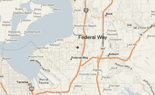
Federal Way is located in the South King County region of Washington. It’s located 23 mi. South of Downtown Seattle, 11 miles from Sea-tac and 12 miles respectively from Tacoma (http://www.ci.federal-way.wa.us, 2014). It’s the 7th largest city in Washington. There’s more than 93,000 people estimated to be located in this area (http://quickfacts.census.gov/qfd/states/, 2014). Federal Way is well-known for a lot of its entrepreneur projects and businesses. It’s also notable for being a commercial district. Retail and Service companies are the major employers. Weyerhaeuser, a timber based corporation, and World Vision are two of the city’s prominent companies. The city has about 25,000 students enrolled in schools. There’s only 1 school district in the entire city. There are 26 Elementary, 7 middle, and 8 High Schools in total. However, there is a total of 46 schools according to (greatschools.org), I believe this includes also the private academies. http://www.schooldigger.com/go/WA/district/02820/search.aspx). The district is ranked 127th out of 189 districts. I’ve found that schools with about 400 students that attend have about 30% or higher percentage of students that have free/reduced lunch eligibility. Indicating there’s many students coming from low income homes. (http://www.k12rate.com/washington176/rank-federal-way-schools-by-student-eligible-for-free-lunch.php) Which is quite a phenomenon, due to the fact that Federal Way is a commercialized district that is recognized with many retail and service opportunities. The Knutzen Family Theatre offers performance space for local artists and art organizations. Much of the parks, recreation, and cultural services are managed by the administrative division of the Federal Way community. We can also find recreational centers like The Federal Way Community Center that features pools and exercise rooms, but also serves as a place for community events. The Dumas Bay Centre accommodates businesses and retreats. There are also 6 community parks, 23 neighborhood parks, and has 23 undeveloped open spaces (http://www.ci.federal-way.wa.us/index.aspx?nid=84, 2014). Federal Way has many public Health and Medical Care buildings, hospitals, private clinics, and a multitude of retirement homes for seniors. They also have a Washington Department of Social Health and Service building, that offers adult care, child care services, job opportunity programs, and government assisted programs. The estimated income for the average household in Federal Way was about $56,000, the estimated median cost of a house was about $242,000 (http://www.city-data.com/city/Federal-Way-Washington.html, 2013). 51.3% are women and 48.7% are men that make up the people living in the city. 47.4% are White, 18.3% Hispanic, 16.8% Asian, 9.3% African American, .8% American Indian and 1% Pacific Islander. There are many stores in the city. There are grocery stores like WinCo which are employee-owned stores that give a share of the company to the employees. A mall currently known as The Common holding various departments of retail. There’s much access to resources like clothing, food, and housing.
Write 1-2 pages providing background information about the present state of the neighborhood—a) where is it within the city/region/state, b) main industries/employers, c) school districts, d) cultural venues, e) parks and recreation, f) medical care/health services, g) real estate, h) infrastructure (e.g., stores, greenspace, access to food), and so forth.
Federal Way was once just made of the school district 210. It started being called Federal way in 1929 after the school districts started calling this area Federal Way. The district was a total of 35 square miles and the city itself is about 22.5 square miles. To understand the historical context of the city we have to clear up how it started in the beginning. It’s strange to consider that the school district is about 55% bigger than the actual city, because the district also goes through cities like Auburn, Des Moines and Kent. It was estimated that about 18,000 years ago that the area was covers up by ice and about 10,000 years ago it started melting from the Vashon Glacier. The area was then left with much rocky soil and marshes. Native Americans never settled in Federal Way there were no navigable rivers, however the Muckleshoot Indians traveled through the area to get clams from the Puget Sound. The First non-Native Americans to come in the area were loggers and by the 1880’s about 50 homesteaders could be found. Travel was difficult throughout the city because there was only one road built in 1855 which was known as Military Road. In 1913 King County took over building the roads and the system began to expand. In the 1920’s women began developing organizations like women clubs and communities. The area then hit depression in 1929 and many support systems were of the women’s organizations. Then there was a significant population boom in the city. Around 1936 a lot of Homesteads were broken up to meet a growing demand for land. Many people were moving from crowded Seattle toward South King County and East Pierce County. This also has a direct correlation or tie between the gentrification of Central, South, and West Seattle. People of mostly color and less financial means were priced out of town which also drove the meteoric growth of South King County. Federal became the most settled because of its cheaper living cost and just as importantly its easy access to interstate 5 because most people still worked North in the city or valley. There was also a housing shortage in Seattle and Tacoma due to World War 2. Also the development of the Sea-Tac Airport in 1946 forced many people out of their homes. By 1955 federal Way Shopping Way opened as the area’s first large, centralized collection of stores.
The White population currently makes up 53.9% of population. 10.22% Black or African American, American Indian and Alaska Native .94%, Asian 18.6%, 17.54% Hispanic, 9.01 other and 7.33% Multi- Racial. This was given by a 2012 census.(http://www.clrsearch.com/Federal-Way-Demographics/WA/Population-by-Race-and-Ethnicity, 2012)
Poverty is spread amongst the city, however most poverty is located nearest the public schools of Federal Way High School and Decatur. Which are next to Interstate 5 and Military Road. 9.3% of the city is blow poverty level. (http://www.city-data.com/poverty/poverty-Federal-Way-Washington.html, 2013). Over 5,000 of the poor residents are Hispanic, ~2,500 are white and black, below 2,500 are Asian, American Indian are below 1000. According to the same census above.
The gentrification and redlining done in Seattle has definitely changed the racial composition of Federal Way. Moving many colored people into the city of Federal Way. These migration patterns increased the total number of Hispanics in the area and due to this most of the impoverished are Hispanic. We get the development of the Sea-Tac interurban railroads and development of roads that also increase the population and composition of the city. The tearing down of others homes in that area causing a vast movement toward Federal Way the city.
In the house we live in I can see major connections between the population of Federal Way. I remember my grandparents telling me that they moved out of Seattle to find a better life in Federal Way. Now, I know one of the most important reasons for our settlement in Federal Way. It was cheaper. Being Pacific Islander and of the minority groups that were forced to move because of gentrification in Seattle. I’ve come to see the inequity and sneakiness of policies formed by the government. It’s crazy that these policies could be rationalized and considered normal because of the vast majority of the people who are put in power of creating these instituted belligerent policies, white people. It becomes normalized and we can’t even tell that it’s abnormal due to the possessive investment in Whiteness. Overall, my eyes have been opened to many institutionalized policies especially in housing.
 bing.com/federalwayimage
REFERENCE
http://www.ci.federal-way.wa.us, 2014
http://www.city-data.com/poverty/poverty-Federal-Way-Washington.html, 2013
http://www.clrsearch.com/Federal-Way-Demographics/WA/Population-by-Race-and-Ethnicity, 2012
http://www.k12rate.com/washington176/rank-federal-way-schools-by-student-eligible-for-free-lunch.php, 2012
Janilla Lucilla Augofie
